Vessel: ARMONIA (Gib Sea 43, 2003). Date: 18 January 2026. Boat speed (STW for planning): 6.0 kn. Time standard - пример полного passage plan для прибрежного перехода.
Passage Plan: пересечение Ла-Манша
Планирование маршрута яхты - основа безопасного перехода. Ниже представлен реальный passage plan для пересечения Ла-Манша, который может служить образцом для планирования перехода.
Vessel: ARMONIA (Gib Sea 43, 2003)
Date: 18 January 2026
Boat speed (STW for planning): 6.0 kn
Time standard: UTC
Navigation: Paper chart + GPS/plotter + AIS Class B (NO radar)
-
1. Vessel Data
| Item | Value |
|---|---|
| Vessel name | ARMONIA |
| Type | Gib Sea 43 (2003) |
| Draught | 1.85 m |
| UKC target | 1.0 m |
| Minimum depth required | 2.85 m |
| Engine | Volvo Penta MD2040 (40 hp) |
| Fuel (main tank) | 150 L |
| Day tank | 70 L |
| Water tank | 350 L |
| Call sign | __________________ |
| MMSI | __________________ |
-
Маршрут яхты: планирование waypoints
2. Route (WGS84)
| WP | Name | Latitude | Longitude |
|---|---|---|---|
| 1 | SCM Outer Spit | 50°45.44'N | 001°05.46'W |
| 2 | Bembridge Ledge | 50°41.15'N | 001°02.81'W |
| 3 | Before TSS area | 50°30.00'N | 001°04.15'W |
| 4 | After TSS area | 50°00.00'N | 001°08.10'W |
| 5 | Pte de Saire | 49°36.40'N | 001°11.30'W |
| 6 | La Gavendest | 49°34.36'N | 001°13.89'W |
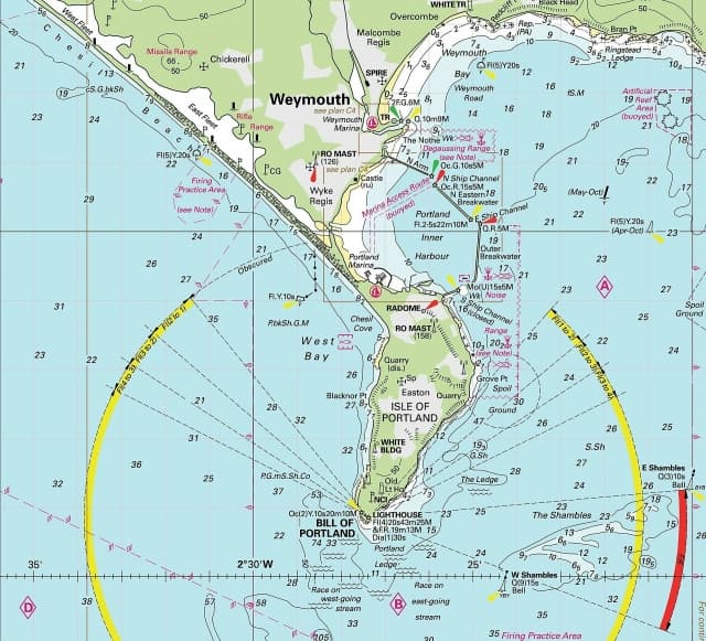
Карта маршрута яхты с нанесёнными waypoints - обязательная часть подготовки. Каждая точка выбрана с учётом правил плавания в зонах разделения движения (TSS) и приливных течений.
-
3. Legs - CTS (your chart work)
| Leg | From → To | Track °T | Boat run (NM) | Time @6 kn | CTS °T | ETD | ETA |
|---|---|---|---|---|---|---|---|
| 1 | WP1 → WP2 | 159 | 4.2 | 0:42 | 168 | 0600 | 0642 |
| 2 | WP2 → WP3 | 184 | 11.5 | 1:55 | 205 | 0642 | 0837 |
| 3 | WP3 → WP4 | 184 | 30.0 | 5:00 | 190 | 0837 | 1337 |
| 4 | WP4 → WP5 | 184 | 18.2 | 3:02 | 177 | 1337 | 1639 |
| 5 | WP5 → WP6 | 219 | 3.0 | 0:30 | 267 | 1639 | 1709 |
-
4. Watchkeeping / AIS
- High traffic watch: WP3 → WP4
- AIS Class B ON, monitor targets, check CPA/TCPA, early and clear avoiding action.
- Maintain proper visual lookout at all times.
-
5. Safety Brief
- Lifejackets on deck.
- Jackstays / tethers at night and in rough weather.
- MOB: shout, point, mark, throw buoyancy, recovery plan.
- Fire/Flooding: extinguishers, seacocks, bilge pump, MAYDAY/PAN-PAN.
- Engine stop / fuel shut-off / emergency tiller.
- Warm clothing, headtorch, hydration.
-
Пересечение зоны разделения движения
6. TSS / Crossing Brief (WP3 → WP4 area)
- Cross traffic lanes close to 90°.
- Do not enter separation zone.
- Early avoiding action, keep clear of commercial traffic.
- AIS monitoring + visual lookout.
- If visibility reduces: reduce speed, sound signals, engines ready.
Парусная навигация в зонах TSS требует особого внимания к правилам плавания МППСС-72. Яхта обязана пересекать полосу движения под углом, близким к 90 градусам, и уступать дорогу судам, следующим по установленному маршруту.
-
7. Arrival Brief
- Prepare fenders/lines early, crew roles allocated.
- Position check, depth/tide check, lights identified, VHF call prepared.
- If no safe entrance: hold position in safe water or divert to Cherbourg.
-
8. Restricted Visibility / Fog
- Reduce speed to safe speed.
- Sound signal (motorsailing): one prolonged blast every 2 minutes.
- Extra lookout, AIS monitoring, frequent position fixing.
- If below safety limit near approach: hold position or divert to Cherbourg.
-
9. Weather Timeline (18-19 Jan 2026)
Key times (UTC): Sunrise 0800, Sunset 1650.
| Time (UTC) | Area | Wind | Sea | Weather | Visibility |
|---|---|---|---|---|---|
| 0600-1200 | UK side (Wight / Area 7) | Variable 2-4 | Smooth/slight | Occasional rain | Good, occasionally poor |
| 1200-2359 | UK side (Wight / Area 7) | Becoming S 3-5 | Smooth/slight | Occasional rain | Good, occasionally poor |
| 0600-2359 | French side (Area 19) | SE 2-3 (occ 4), veering S | Smooth, locally slight | Rain/drizzle + mist, risk of fog patches | Moderate/good, locally poor/very poor |
19 Jan: fronts affect the Channel, pressure drops, wind freshens and sea state worsens.
-
10. Tides - Standard Ports and Secondary Port (St Vaast)
Portsmouth - Standard Port (UTC)
| Time (UTC) | Height (m) | |
|---|---|---|
| 0419 | 1.5 | LW |
| 1119 | 4.4 | HW |
| 1639 | 1.2 | LW |
| 2350 | 4.4 | HW |
Mean Levels (m): MHWS 4.7, MHWN 3.8, MLWN 1.9, MLWS 0.8.
TIDES +0020 Dover; ML 2.8.
Cherbourg - Standard Port (UT−01 on table; converted to UTC)
| Local Time | UTC | Height (m) | |
|---|---|---|---|
| 0304 | 0204 | 2.0 | LW |
| 0839 | 0739 | 5.9 | HW |
| 1527 | 1427 | 1.7 | LW |
| 2105 | 2005 | 5.8 | HW |
Mean Levels (m): MHWS 6.4, MHWN 5.0, MLWN 2.5, MLWS 1.1.
St Vaast La Hougue - Secondary Port (from Cherbourg)
Time differences (from table):
- Reference HW 0300 / 1500: +0115
- Reference HW 1000 / 2200: +0045
Height differences (from table):
- HW: +0.4 m
- LW: −0.1 m
Time method: St Vaast HW time obtained using Crocodile triangle between the reference times.
Place for Crocodile triangle (interpolation diagram):
Results used in this plan (UTC):
- St Vaast HW 0830, height 6.3 m
- St Vaast HW 2054, height 6.2 m
St Vaast notes: TIDES −0240 Dover; ML 4.1; Duration 0530.
St Vaast tidal gate (HW 2054)
Gate: HW − 2h 15m to HW + 3h
- Opens 1839 UTC
- Closes 2354 UTC
-
11. Streams - Dover reference and Computation of Rates
Dover tides (18 Jan, UTC)
- LW 0539 1.5 m
- HW 1052 6.0 m
- LW 1757 1.4 m
- HW 2312 6.2 m
Computation:
- Rate_comp = Spring_rate × F
- Cycle 1: Range = 6.0 − 1.5 = 4.5 m; Mean Spring Range = 6.0 m; F1 = 0.75
- Cycle 2: Range = 6.2 − 1.4 = 4.8 m; Mean Spring Range = 6.0 m; F2 = 0.80
-
12. Communications (VHF + phone)
| Station | VHF Ch | Phone |
|---|---|---|
| Distress / Safety | 16 | - |
| Solent Coastguard | 67 | - |
| Portsmouth VTS | 11 | 02392 723694 |
| Jobourg Traffic (VTS) | 13 | - |
| CROSS Jobourg | 16 / 80 | 02-33-52-72-13 |
| St Vaast Marina | 09 | 02-33-23-61-00 |
-
13. Ports of Refuge
- Legs 1-2: return Portsmouth.
- Leg 3: return Portsmouth until halfway Leg 3.
- After halfway Leg 3 and further: refuge Cherbourg.
- Leg 4-5: refuge Cherbourg.
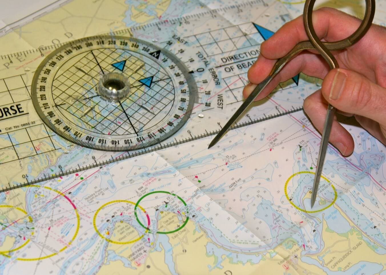
Если хотите довести это до навыка: составление passage plan - сердце подготовки Day Skipper, и на курсах RYA свой первый план вы разбираете вместе с инструктором - от карты до фактического выхода.
Следующий поход с опытным инструктором
Теория без практики — пустая трата времени
Один поход с инструктором даёт больше, чем год чтения. Выберите маршрут.